Skyscape
September 13, 2023
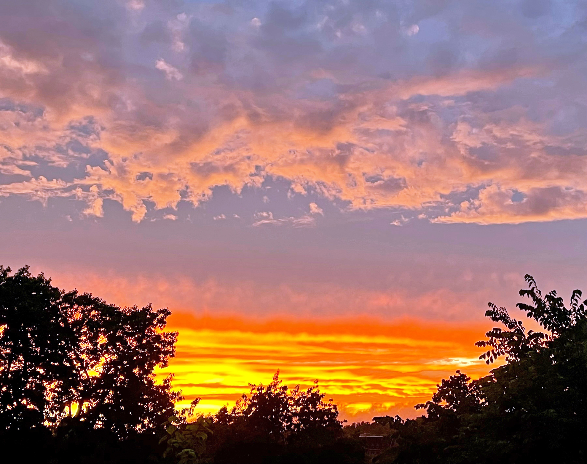
FRIDAY, September 15th, is Cloud Appreciation Day. There’s really such a thing, says the Cloud Appreciation Society. There’s such a thing as that, too.
Sure, why not? Who doesn’t like clouds?
PHOTOS BY THE AUTHOR
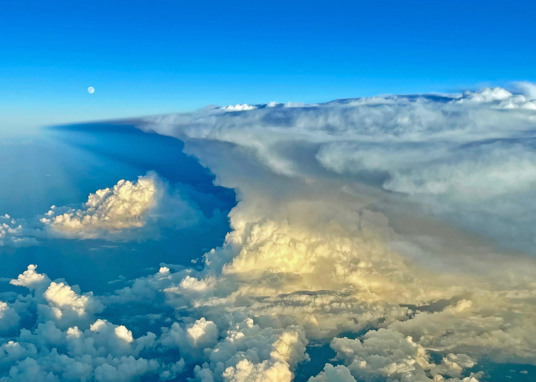
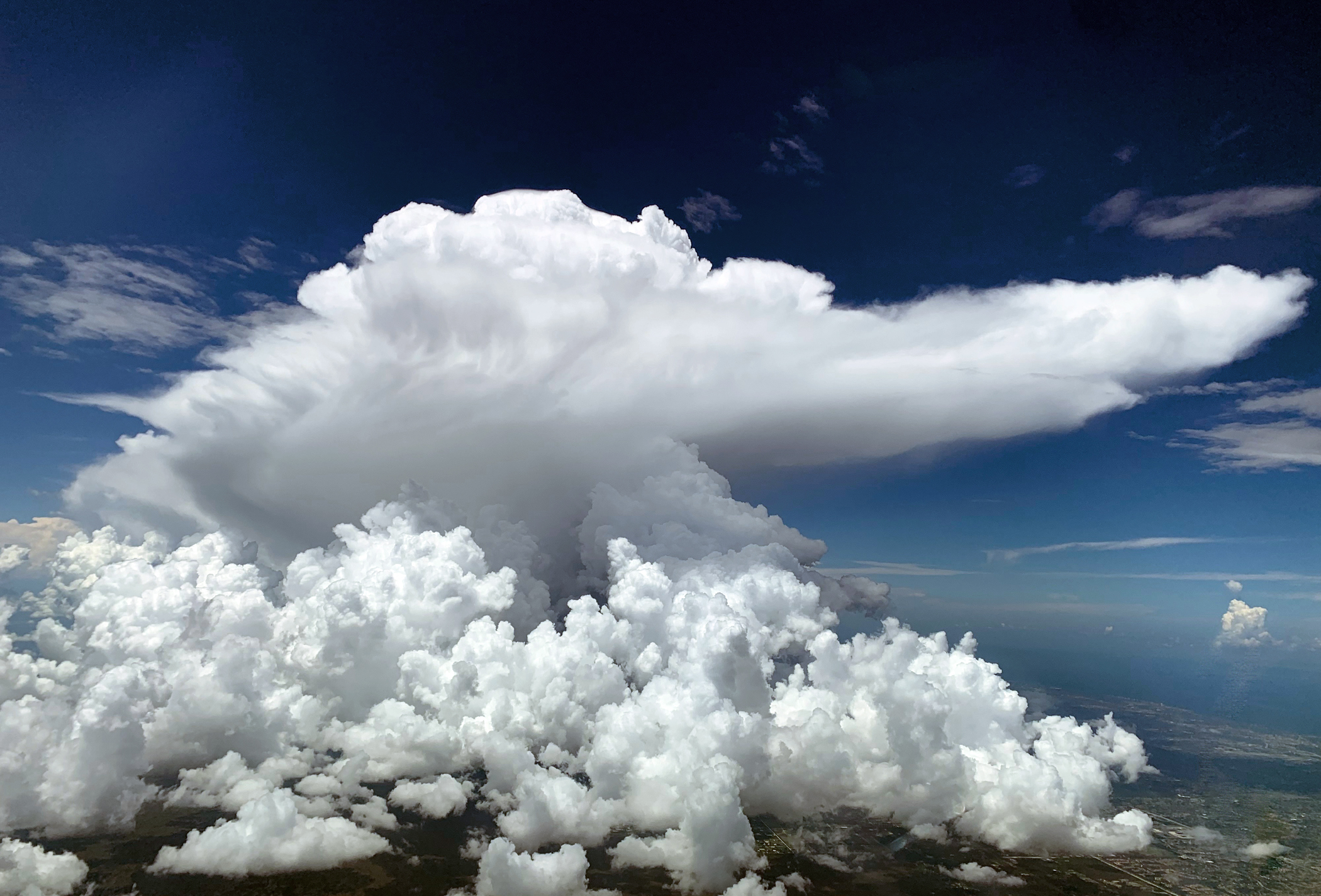
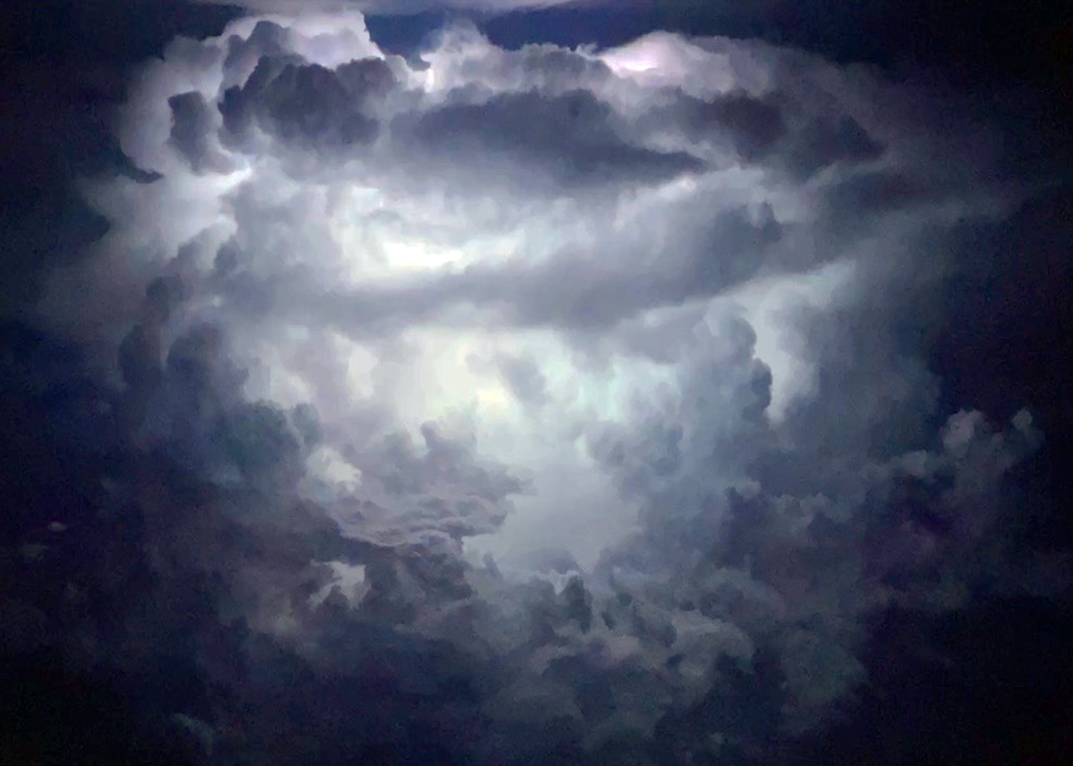
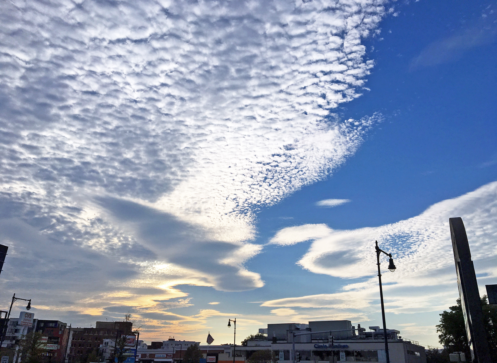
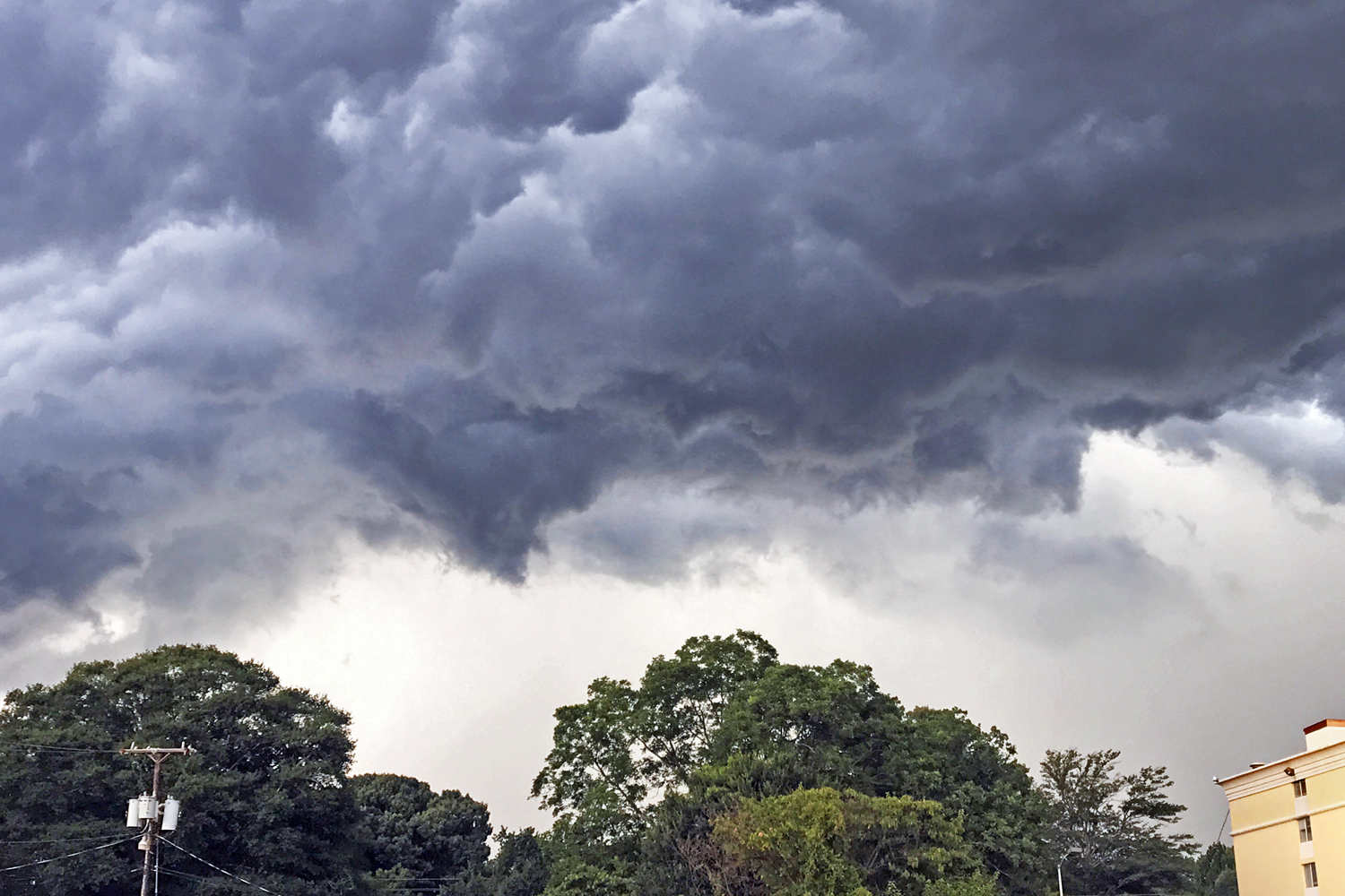
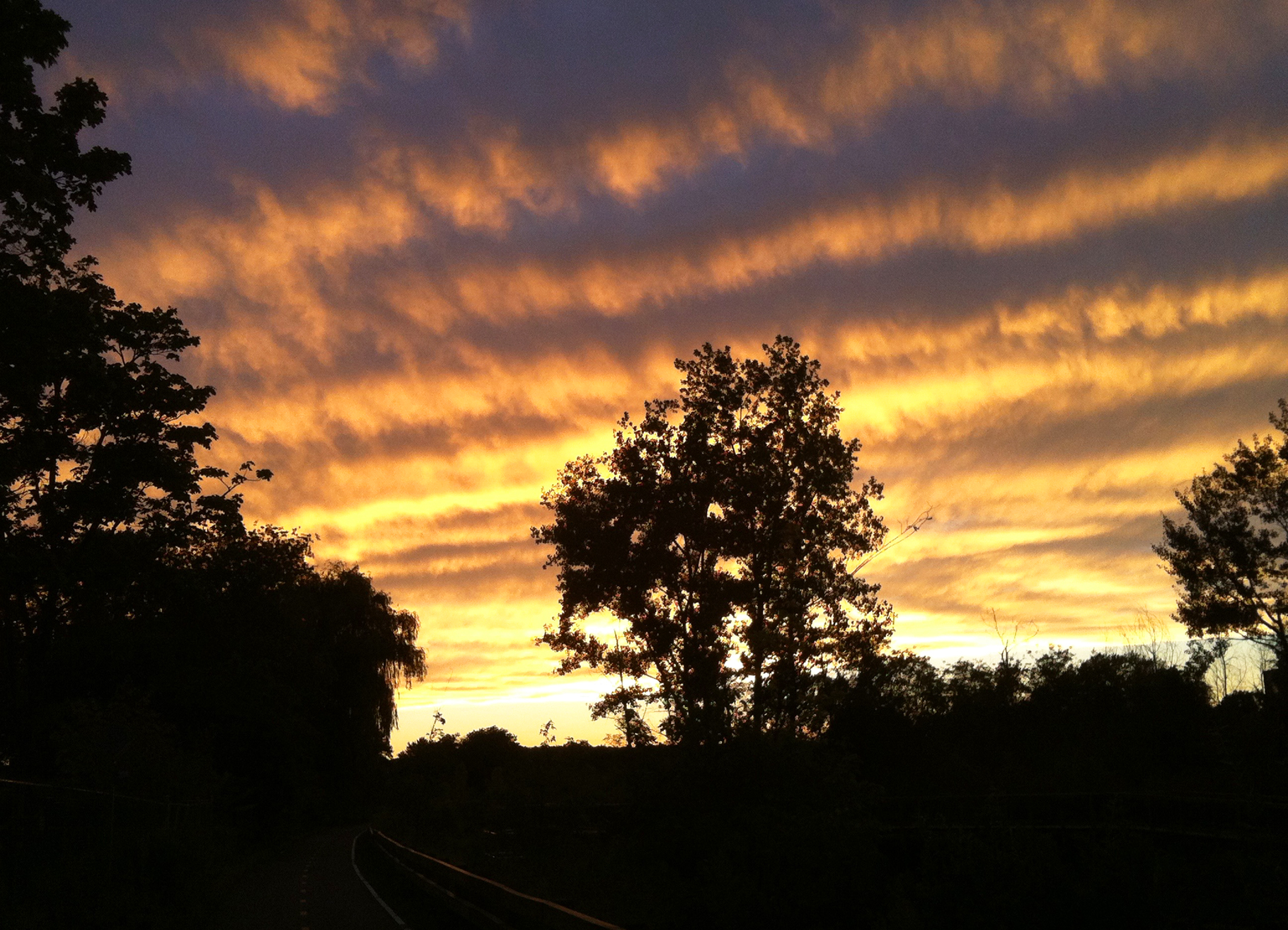
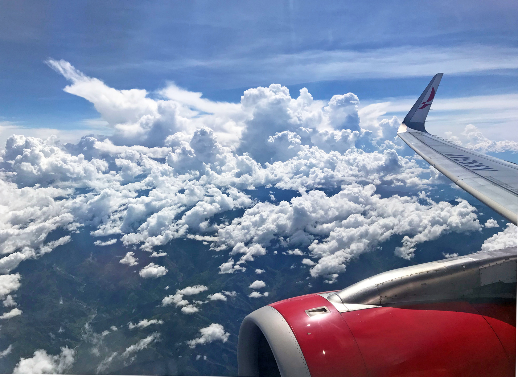
Those three above are a spectacular example of cumulonimbus. Thunderstorms, in other words. These are the clouds aviators avoid. They’re picturesque, but as atmospherically unfriendly as clouds can be.
Any type of cumulus cloud — the white fluffy ones — generally indicates unstable air and turbulence of varying degrees. But while fair-weather cumulus are by and large harmless, cumulonimbus, with their tell-tale anvil tops pointing in the direction of travel, are a sort of supercharged cumulus. At their meanest they contain thunder, lightning, hail, and extreme turbulence. We stay clear of them.
Evidence thus far is mostly anecdotal, but it stands to reason that as global warming intensifies weather patterns, storms like these will likewise become stronger and more frequent.
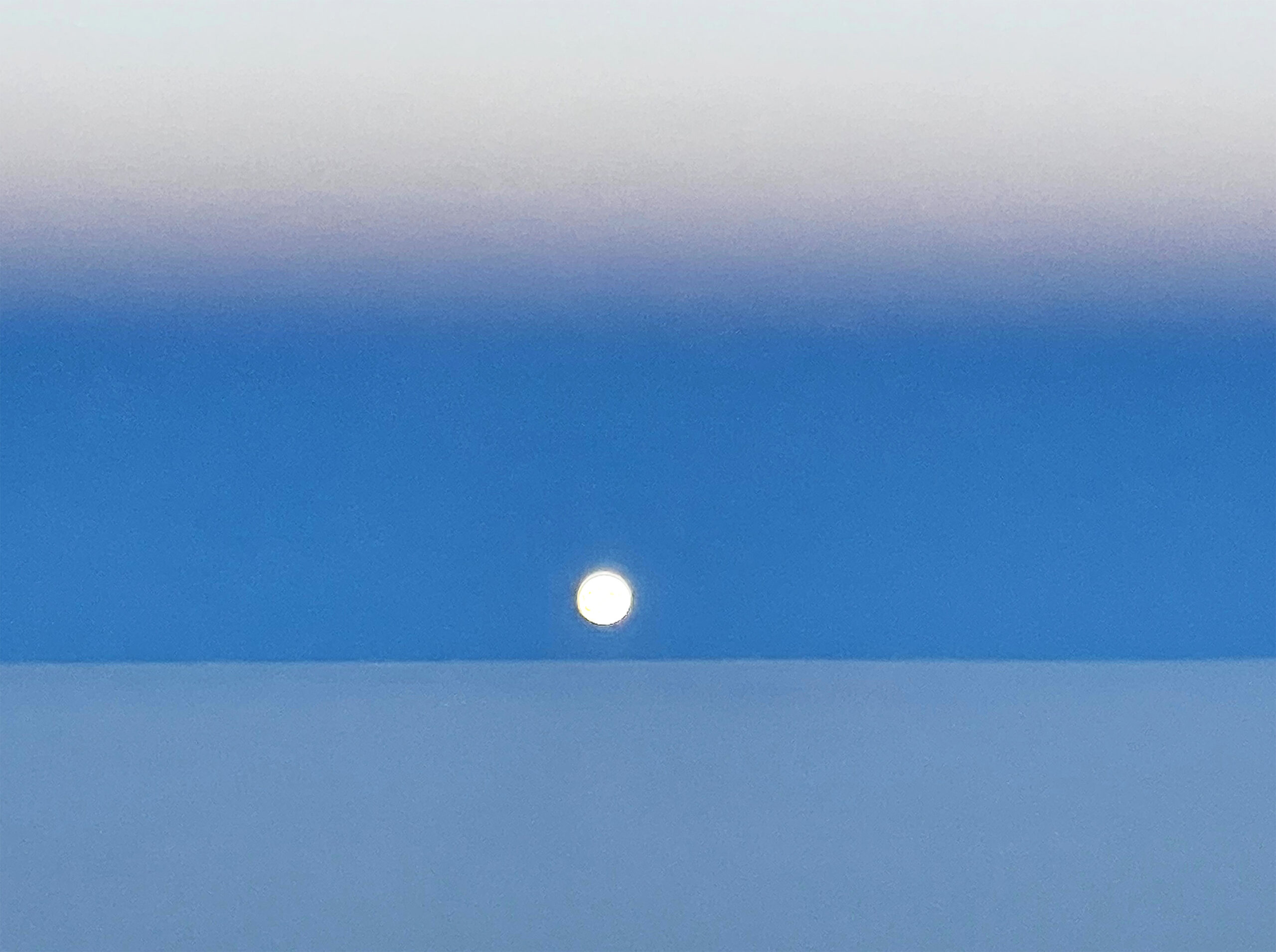
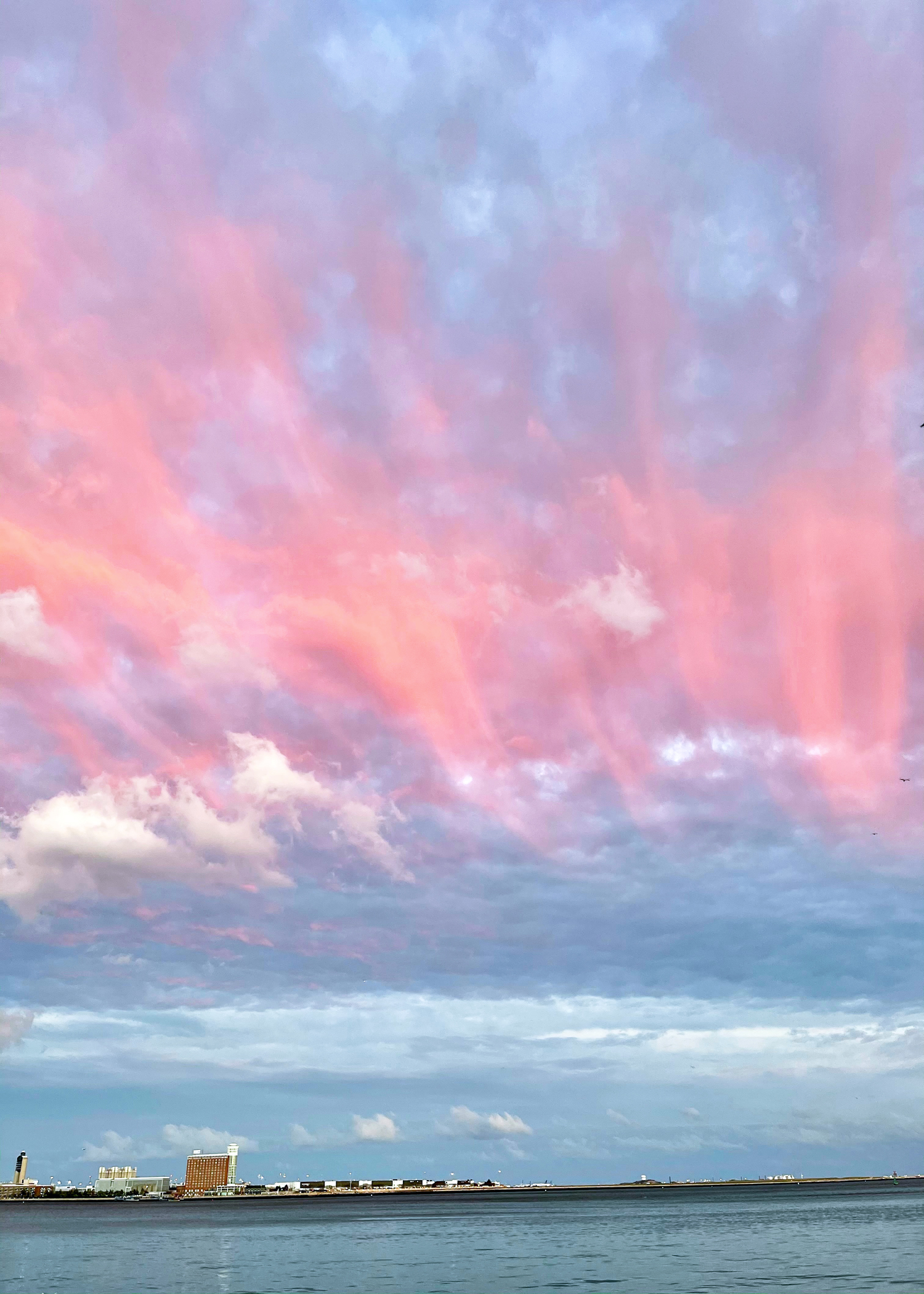
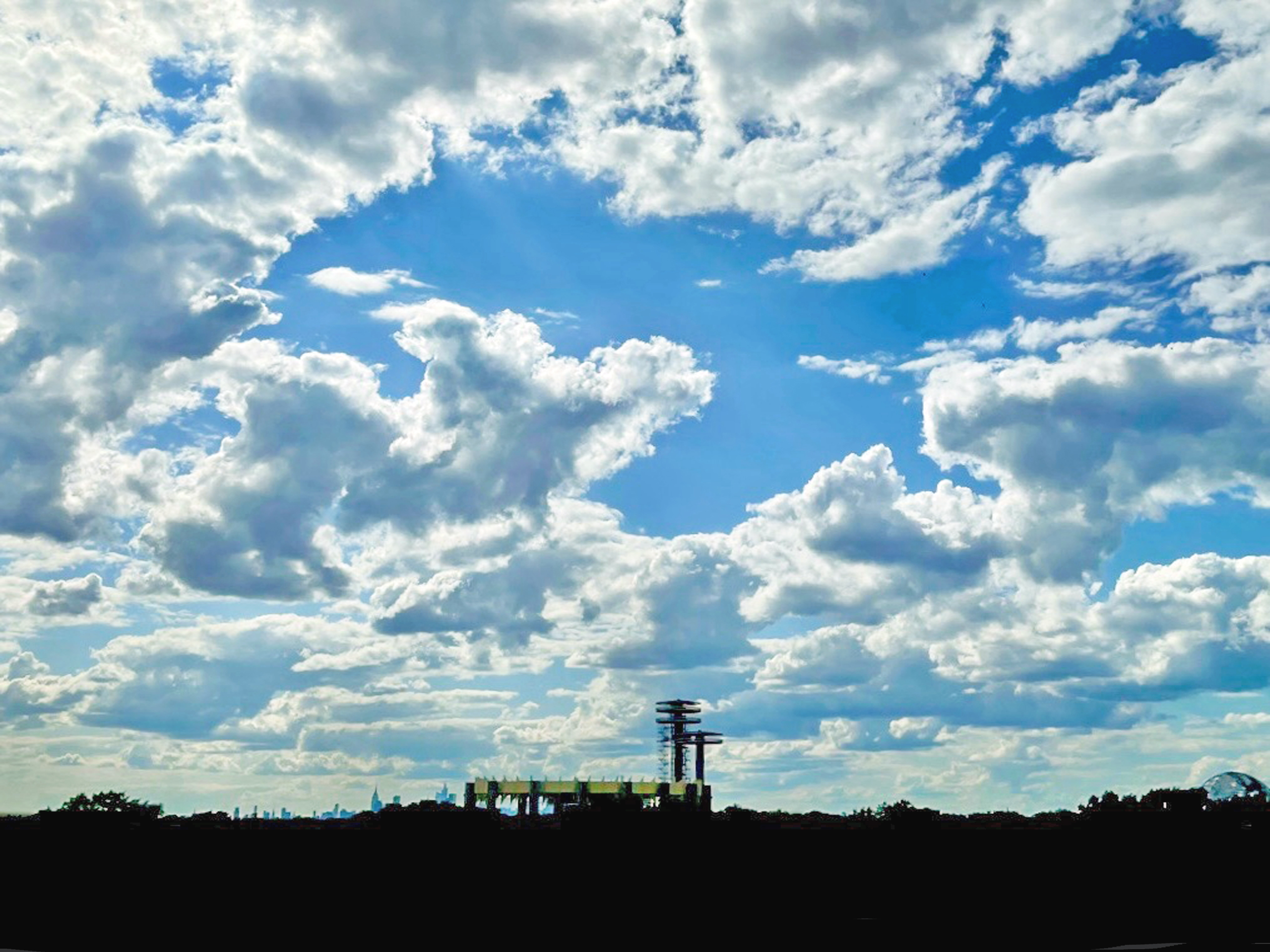
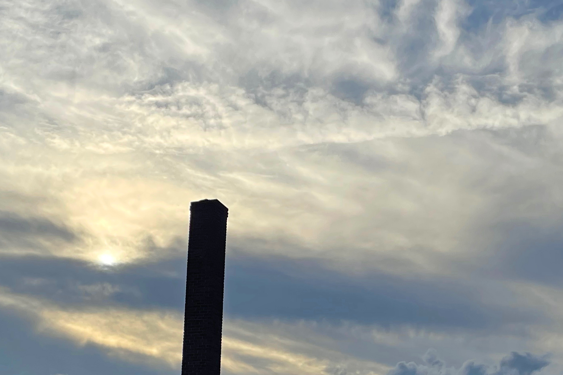
Stratus clouds are the flatter, more uniform type associated with overcast skies. They tend to be smooth inside. But not always. Few things in aviation are always.
Cirrus are the wispy, higher-altitude clouds. They’re made of ice crystals and sometimes translucent.
Types can form in a combination. Cirrocumulus. Cirrostratus. Pretty words, pretty clouds. Or you might see the prefix “alto,” as in altostratus or altocumulus. These are middle-altitude clouds.
When the Latin “nimbus” is part of the name, it means precipitation is falling. Nimobstratus, for instance, is your typical rainy-day cloud.
It can be difficult or impossible to see clouds at night. That’s when our onboard radar pulls its weight, together with weather forecasts, turbulence plots and real-time imagery viewable on our tablets.
One reason I enjoy flying the Boeing 757, antiquated as it might be, is its outstanding climb performance, even at max weight. It’s easy for us to get above most or all of the weather. Jets like the 737 and A320 can’t match it and are often stuck down low.
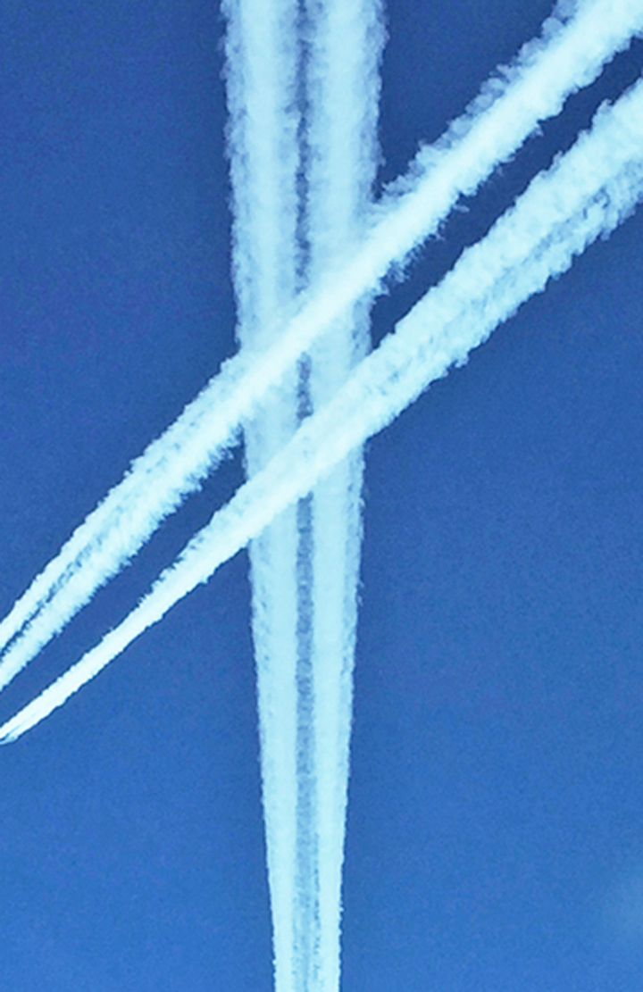
Contrails are essentially a machine-made cloud. One of the byproducts of jet engine combustion is water vapor, which at higher altitudes will often condense visibly, nucleating on exhaust particles. Contrails can run behind an aircraft for many miles. Or, they might appear as short white plumes. It varies with altitude, temperature, humidity.
Chemtrails, anyone? Let’s not.
This is not the same thing as the trail of mist you sometimes see coming from a wingtip during takeoff or landing. This latter phenomenon happens in high-moisture conditions when the cores of wingtip vortices condense, shooting from the wings as strands of vapor.
Moist, high-velocity air will condense around other spots too, such as the engine attachment pylons. You might witness what appears to be white smoke pouring from the top of an engine during takeoff. This is vapor made visible by the currents around the pylon. Other times, the area just above the surface of the wing will suddenly flash into a gray puff of localized cloud.
Related Story:

