Things Going Bump

July 15, 2024

Everyone’s talking about turbulence. Each week now, it seems, we’re reading about this or that flight getting wracked around by unusually rough air. People are being injured, flights are diverting. In one case a passenger died after a Singapore Airlines flight hit severe turbulence over Southeast Asia.

Are dangerous turbulence encounters becoming more prevalent, or are they merely getting more attention?

I honestly don’t know. That’s a bummer of an answer, but I’m unaware of any stats indicating things one way or the other. For now it’s all pretty anecdotal.

That includes my own observations. For instance I seem to notice more and larger thunderstorms these days — over the U.S., over the Atlantic — than I did in years past, but that’s without any objective measuring; it’s just a hunch.

Either way, the media loves a scary-sounding airplane story. In an age when large-scale air disasters have become vanishingly rare, news sources — to say nothing of social media — have taken to hyping minor mishaps instead. That Singapore Airlines incident (the passenger actually died from a heart attack after the turbulence upset) got as much coverage as a crash that killed 200 people would have gotten in decades past.
Another factor is the number of planes in the air. There are more than twice as many commercial flights aloft at any given moment as there were a generation ago. More flights, more people; an uptick in incidents is inevitable.

It’s also possible that yes, turbulence is getting worse. It stands to reason that as climate change intensifies weather patterns and causes bigger, more powerful storms, flying will, to a small but perhaps measurable extent, be bumpier.

How much bumpier is impossible to know, but cases where passengers are hurt or aircraft are damaged will likely remain uncommon. (This is being studied as we speak, though you can expect any results pointing to climate change to set off further squabbling rather than, as it were, clearing the air.)

Also helping are the technological tools now at our disposal. The weather apps that we use in the cockpit are far more advanced than they were even five years ago, and are remarkably accurate when it comes to predicting the where, when, and how bad of turbulence — and how best to avoid it.

Even in worst-case turbulence encounters, meanwhile, the seat belt will probably keep you safe. The vast majority of turbulence-related injuries are suffered by crew members moving through the cabin, or passengers who weren’t belted in when they should’ve been. Flights might get bumpier, but the basics of staying unhurt remain the same.


Related Stories:

EVERYTHING YOU NEED TO KNOW ABOUT TURBULENCE.
SAFETY IN PERSPECTIVE

Comments (6)

Deadly Turbulence

May 28, 2024

LAST WEEK, a passenger died and multiple more injured when a Singapore Airlines Boeing 777 encountered severe turbulence while en route from London to Singapore. The encounter happened over Myanmar and the flight diverted to Bangkok. Then, on May 26th, twelve people were hurt when a Qatar Airways jet hit severe turbulence during a flight to Dublin.

The media is off and running, no doubt triggering panic among the many flyers for whom turbulence is an acute fear.

If you’re one of those people, the first thing I can do is refer you to the turbulence essay found in the Q&A section of this website. You can read it here.

The second is to emphasize the rarity of incidents like this one. Any turbulence encounter powerful enough to hurt scores of people and tear away ceiling panels and overhead lockers, is a frightening prospect. And as climate change intensifies weather patterns and creates more powerful storms, we may see more of them. But they are, and should remain, exceptionally uncommon.

And maybe most important of all, it’s been reported that most, and possibly all, of the injured passengers were not wearing seatbelts. If you’re belted in, even the worst turbulence is unlikely to cause harm. Keep your belt on anytime you’re seated. Crews will often make a PA reminding you to keep your belt on on anytime you’re seated. This is a good example why.

We should also mention that the man who passed away on the Singapore flight died from a heart attack, not from any sort of impact trauma caused by the turbulence directly.

Prior to last week, if I’m counting right, the most recent turbulence-related fatality on a commercial jet occurred in 2009. Before that, a passenger was killed aboard a United Airlines flight in 1997. That’s two or three deaths in a roughly 25-year span, during which close to thirty billion — with a b — passengers traveled by air, aboard tens of millions of flights. Try to let those numbers sink in. This is the kind of thing even the most frequent flyer (or pilot) won’t experience in a lifetime.

What happened is unfortunate and scary, but it’s not a reason to freak out and cancel your flight because the turbulence app on your iPhone shows yellow.

The media focus, meanwhile, has been relentless. An accident in which one person died has received as much attention as a disaster that killed 200 people once would have. That’s not an exaggeration; I can remember when major crashes, in other parts of the world, would be buried on the second or third page of the newspaper. Most people didn’t even know they occurred.

This is one of those “for better or worse” things. It’s precisely because of how rare crashes have become that we hyper-focus on the smaller stories.


Related Stories:
EVERYTHING YOU NEED TO KNOW ABOUT TURBULENCE.
SAFETY IN PERSPECTIVE

Photos by the author.

Comments (13)

Skyscape


September 13, 2023

FRIDAY, September 15th, is Cloud Appreciation Day. There’s really such a thing, says the Cloud Appreciation Society. There’s such a thing as that, too.

Sure, why not? Who doesn’t like clouds?

PHOTOS BY THE AUTHOR


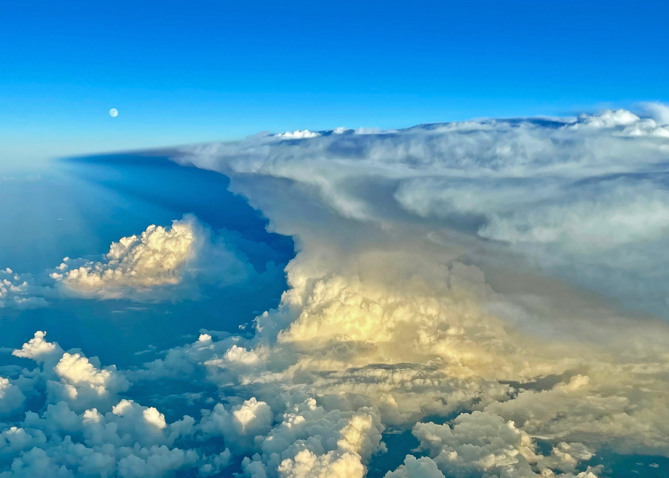
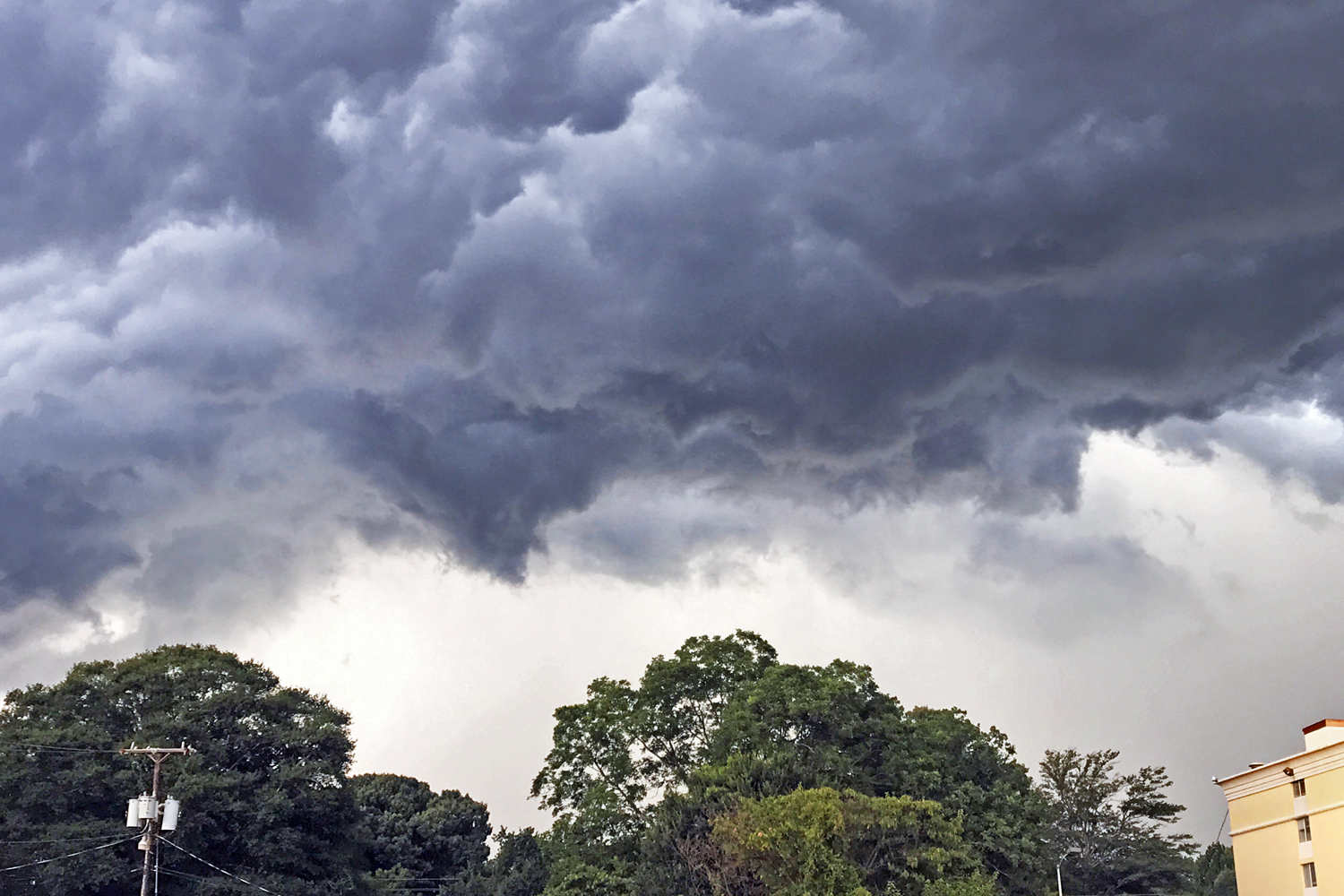
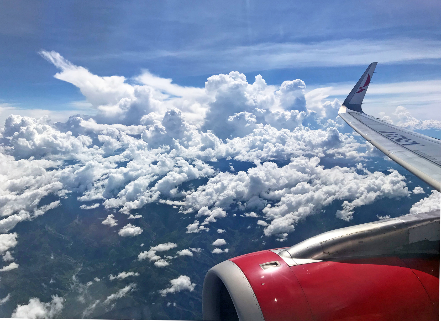
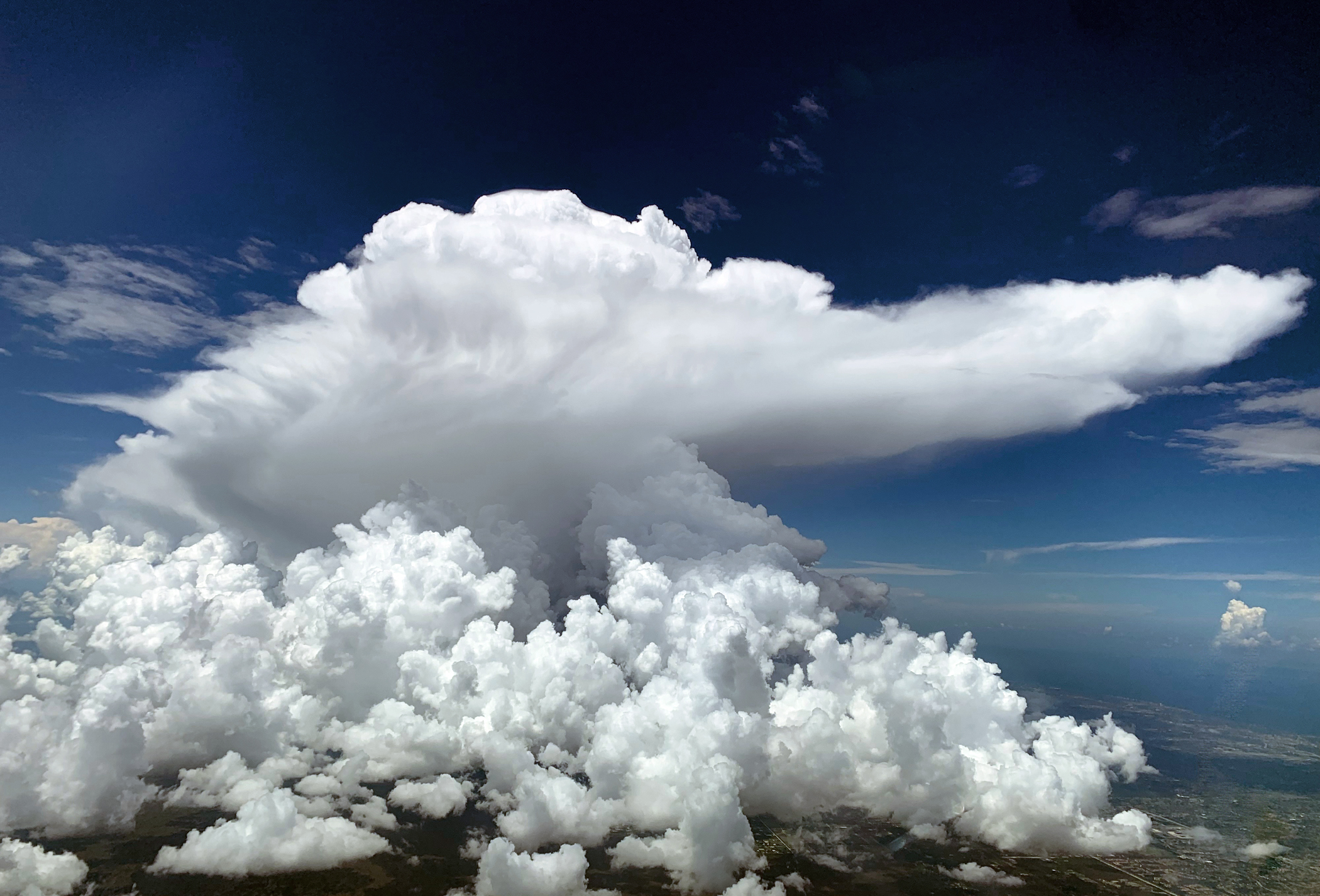
Those three above are a spectacular example of cumulonimbus. Thunderstorms, in other words. These are the clouds aviators avoid. They’re picturesque, but as atmospherically unfriendly as clouds can be.

Any type of cumulus cloud — the white fluffy ones — generally indicates unstable air and turbulence of varying degrees. But while fair-weather cumulus are by and large harmless, cumulonimbus, with their tell-tale anvil tops pointing in the direction of travel, are a sort of supercharged cumulus. At their meanest they contain thunder, lightning, hail, and extreme turbulence. We stay clear of them.

Evidence thus far is mostly anecdotal, but it stands to reason that as global warming intensifies weather patterns, storms like these will likewise become stronger and more frequent.

Stratus clouds are the flatter, more uniform type associated with overcast skies. They tend to be smooth inside. But not always. Few things in aviation are always.

Cirrus are the wispy, higher-altitude clouds. They’re made of ice crystals and sometimes translucent.

Types can form in a combination. Cirrocumulus. Cirrostratus. Pretty words, pretty clouds. Or you might see the prefix “alto,” as in altostratus or altocumulus. These are middle-altitude clouds.

When the Latin “nimbus” is part of the name, it means precipitation is falling. Nimobstratus, for instance, is your typical rainy-day cloud.

It can be difficult or impossible to see clouds at night. That’s when our onboard radar pulls its weight, together with weather forecasts, turbulence plots and real-time imagery viewable on our tablets.

One reason I enjoy flying the Boeing 757, antiquated as it might be, is its outstanding climb performance, even at max weight. It’s easy for us to get above most or all of the weather. Jets like the 737 and A320 can’t match it and are often stuck down low.

Contrails are essentially a machine-made cloud. One of the byproducts of jet engine combustion is water vapor, which at higher altitudes will often condense visibly, nucleating on exhaust particles. Contrails can run behind an aircraft for many miles. Or, they might appear as short white plumes. It varies with altitude, temperature, humidity.

Chemtrails, anyone? Let’s not.

This is not the same thing as the trail of mist you sometimes see coming from a wingtip during takeoff or landing. This latter phenomenon happens in high-moisture conditions when the cores of wingtip vortices condense, shooting from the wings as strands of vapor.

Moist, high-velocity air will condense around other spots too, such as the engine attachment pylons. You might witness what appears to be white smoke pouring from the top of an engine during takeoff. This is vapor made visible by the currents around the pylon. Other times, the area just above the surface of the wing will suddenly flash into a gray puff of localized cloud.


Related Story:

TURBULENCE. EVERYTHING YOU NEED TO KNOW.

Comments (13)

Turbulence: Everything You Need to Know

August 10, 2017

For passengers made uneasy by inflight turbulence — and I know there are lots of you — the following article, reprinted this week in Business Insider magazine, can help put you at ease.

Click Below

This article is a re-write of an earlier piece I did on the topic. It will appear in the second edition of my book, Cockpit Confidential, due to be published in March, 2018. It also appears in the Questions and Answers section of this site. Nervous flyers may wish to bookmark the Q&A page, here.

Comments off